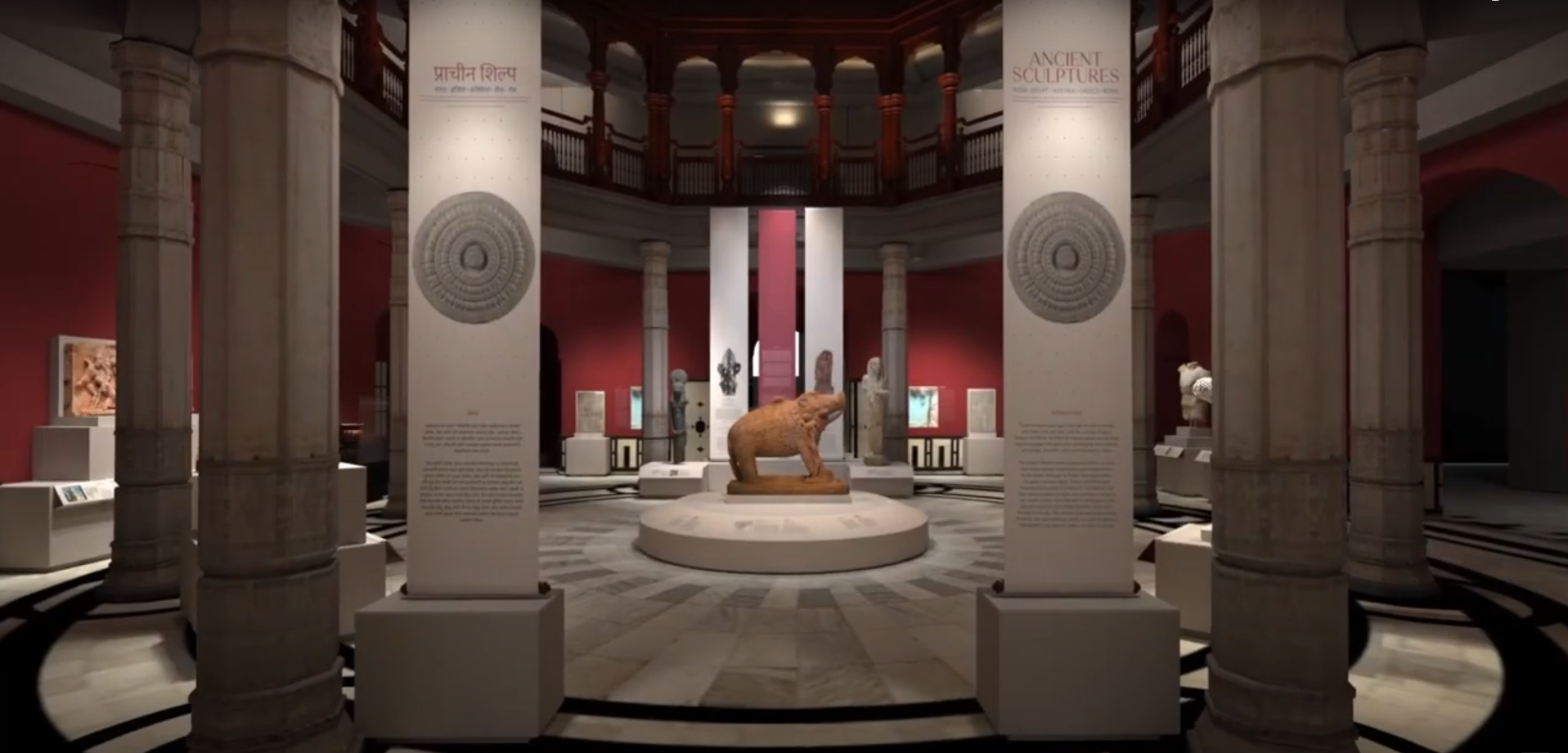
My Work with CSMVS Mueseum
Collaborating with India's premier museum, CSMVS, I contributed my expertise as a Data Visualization / Cartographer for the upcoming 'Ancient Worlds Gallery' exhibition. Over the course of three months, I'm undertaking the exciting challenge of crafting four meticulously designed maps that will enrich the visitor experience and enhance the understanding of the remarkable sculptures on display.
Designed four thematic maps for the 'Ancient Worlds Gallery,' fusing historical data with artistic visuals to seamlessly merge with the exhibition's narrative. Employed advanced geospatial techniques using QGIS and Python, transforming intricate historical information into visually compelling and rich in historical context maps. Working collaboratively with the CSMVS team, refining designs to align with the exhibition's educational goals.
These maps are integral to the 'Ancient Worlds Gallery,' guiding visitors through sculptures' historical and geographical contexts. By translating complex histories into accessible visuals, I've bridged understanding gaps and enriched the museum experience for diverse audiences.
My contribution to CSMVS's 'Ancient Worlds Gallery' vision underscores my commitment to seamless communication of historical narratives, enhancing the museum visit for all.
[Please find in-Person pictures of the gallery here after 20th Jan 2024]

